Key features
Location services
Access service APIs to display styled maps, find places, geocode addresses, find routes, enrich data, and perform advanced mapping operations.
Get started with our developer guides

Mapping and location services
Learn how to build mapping applications with the basemap styles, places, geocoding, routing, and GeoEnrichment service.

Portal and data services
Learn how to create, manage, and access geospatial content with the portal service and host your data as a feature, vector tile, map tile, or image service.
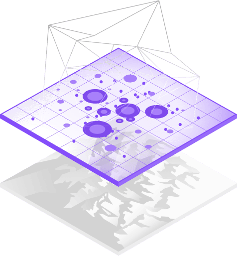
Spatial analysis services
Learn how to discover patterns, gain insights, and solve geographic problems with the spatial analysis and raster analysis service.

Security and authentication
Learn how to access secure content and services with API keys, OAuth 2.0, and user authentication.
Offline maps and data
Learn how to build applications that work when network connectivity is unreliable or entirely absent.